
Weather
Coastal weather is highly variable so it is always a good idea check conditions just before flying. There is now a weather station and webcam at the airport (as of late 2020)–this is the best bet for checking current conditions. You can also check Weather Underground, which seems to offer the most reliable forecast for the Gualala microclimate.
Airport Information
AirNav has everything you need to plan your flight. Check official aviation sources for up-to-date information. Details below are not necessarily current.
| FAA Identifier: | E55 |
| Lat/Long: | 38-48-05.8000N 123-31-50.3000W 38-48.096667N 123-31.838333W 38.8016111,-123.5306389 (estimated) |
| Elevation: | 940 ft. / 287 m (estimated) |
| Variation: | 13E (2025) |
| From city: | 3 miles N of GUALALA, CA |
| Time zone: | UTC -8 (UTC -7 during Daylight Saving Time) |
| Zip code: | 95445 |
Runway 13/31
| Dimensions: | 2500 x 50 ft. / 762 x 15 m | ||
| Surface: | asphalt, in poor condition SFC COND CRACKED AT MIDFIELD WITH FOD PRESENT. |
||
| Weight limit: | 8,000 LBS ALLOWABLE GROSS WEIGHT | ||
| Runway edge lights: | none | ||
| RUNWAY 13 | RUNWAY 31 | ||
| Latitude: | 38-48.265000N | 38-47.930000N | |
| Longitude: | 123-31.991667W | 123-31.685333W | |
| Elevation: | 930.0 ft. | 920.0 ft. | |
| Traffic pattern: | left | right | |
| Markings: | NSTD, in fair condition | NSTD, in fair condition | |
| Obstructions: | 85 ft. trees, 1500 ft. from runway, 75 ft. right of centerline, 15:1 slope to clear +60-90 FT TREES 0-200 FT FROM THLD; 125 FT LEFT & RIGHT. |
40 ft. trees, 1000 ft. from runway, 140 ft. left of centerline, 20:1 slope to clear RY 31 APCH RATIO 32:1 TO DSPLCD THLD |
|
Tie Down Fees
Nightly tie downs are:
- $7 for single engine
- $10 for multi-engine
Payments can be made on-site using the provided envelopes and depositing them into the red payment box in the tie down closet.
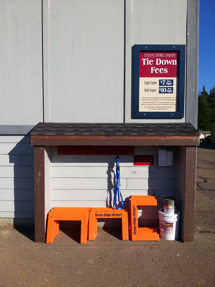
Tie down closet at Ocean Ridge Airport, Gualala, CA. November 2013.
